


From staff reports
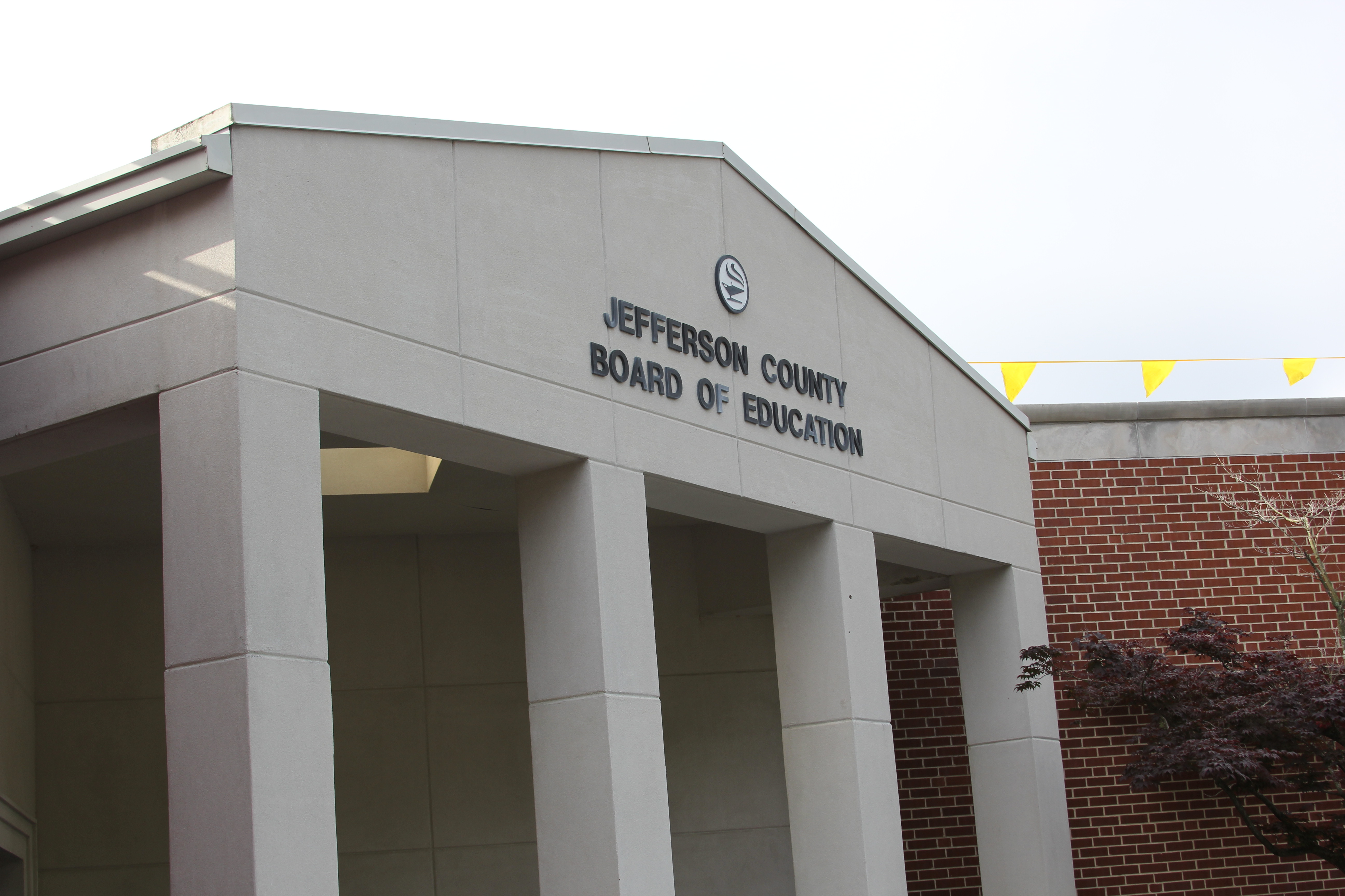
ST. CLAIR COUNTY — The St. Clair County Board of Education announced Thursday it would close all schools and offices would be closed Friday, Jan. 6, 2017 due to the threat of inclement weather.
 At 6:23 a.m. on Thursday, James Spann reported, “Euro model ensemble mean showing about 1.4” of snow for Birmingham by tomorrow (Friday) night.”
According to AlabamaWX.com, road conditions and travel will likely deteriorate throughout the event. Light snow could begin early tomorrow over the northern third of the state, with icy spots developing on bridges and overpasses. Soil temperatures are relatively warm, so many road surfaces will be wet initially, but keep in mind many places across North Alabama will stay below freezing all day tomorrow, meaning potential for some icy travel where snow falls.
But the most widespread travel issues will come late tomorrow afternoon, through tomorrow night, and into Saturday morning as precipitation rates increase and temperatures fall into the 20s. Roads could very well become icy and dangerous over the northern half of Alabama, where the heavier precipitation comes down. The main travel issues will be in the Winter Storm Watch area, but we can’t rule out a few spotty issues to the south as well.


