


From The Trussville Tribune staff reports
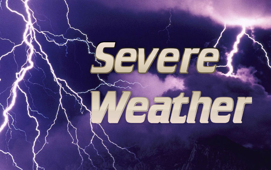
TRUSSVILLE — The National Weather Service in Birmingham has issued a significant weather advisory for St. Clair County.
000 WWUS84 KBMX 021707 SPSBMX Special Weather Statement National Weather Service Birmingham AL 1107 AM CST MON JAN 2 2017 ALZ026>028-036-021745- Talladega AL-Coosa AL-St. Clair AL-Clay AL- 1107 AM CST MON JAN 2 2017 …SIGNIFICANT WEATHER ADVISORY FOR SOUTHWESTERN CLAY…ST. CLAIR… COOSA AND TALLADEGA COUNTIES UNTIL 1145 AM CST… At 1107 AM CST, Doppler radar was tracking strong thunderstorms along a line extending from near Odenville to near Pooles Crossroads. Movement was east at 25 mph. Winds in excess of 40 mph will be possible with these storms. Locations impacted include… Talladega, Sylacauga, Pell City, Leeds, Moody, Childersburg, Springville, Odenville, Wilsonville, Goodwater, Rockford, Talladega Springs, Stewartville, Weogufka, Lincoln, Margaret, Argo, Ashville, Riverside and Ragland. PRECAUTIONARY/PREPAREDNESS ACTIONS… Torrential rainfall is also occurring with these storms, and may lead to localized flooding. Do not drive your vehicle through flooded roadways. Frequent cloud to ground lightning is occurring with these storms. Lightning can strike 10 miles away from a thunderstorm. Seek a safe shelter inside a building or vehicle. &&


