


From Tribune staff reports
BIRMINGHAM — The National Weather Service in Birmingham has issued a winter storm watch for north Alabama for Monday night into Tuesday. Northern most counties in Alabama are expected to see 1-4 inches of snow while freezing rain could extend further south into the Tribune coverage area.
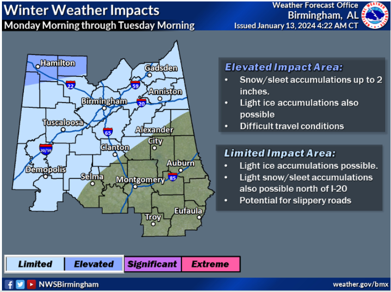 “A wintry mix will be possible Monday morning through Tuesday morning across the northwest half of Central Alabama”, according to NWS. “This could result in slippery roads.”
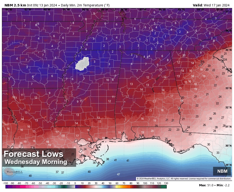
Because temperatures are not expected to rise above freezing on Tuesday and because ground surfaces will be below freezing, any precipitation that falls is likely to cause travel problems into Wednesday.
As we all know, winter weather in the south is all about timing between precipitation and freezing temperatures. The temps will be cold enough. The amount of moisture is the question.
According to Birmingham meteorologist James Spann, a winter weather watch may be needed as far south as Birmingham and Tuscaloosa, but a lack of moisture could allow the I-20 corridor to avoid travel problems all together.
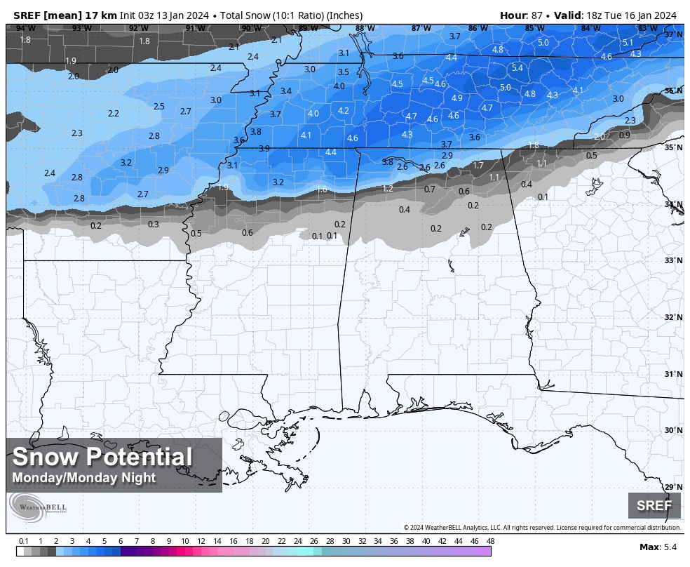
Spann said, “the best chance of accumulating snow is along and north of a line from Winfield to Decatur to Scottsboro, where the winter storm watch has been issued. Snow amounts here will likely be in the 1-4 inch range. Travel impact is likely.”
NWS maps show a possibility of a dusting of snow as far south as Shelby County.
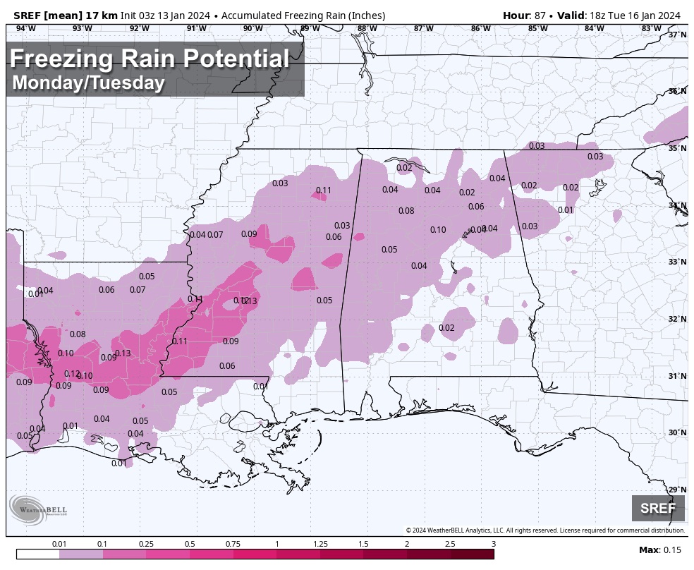
“Some light freezing rain or light freezing drizzle is possible over the northern half of Alabama Tuesday morning,” Spann said. “This can lead to ice accumulating on exposed objects. Even through precipitation is expected to be very light, this could lead to some icy spots (mainly on bridges) as far south as I-20 Tuesday morning.”


