


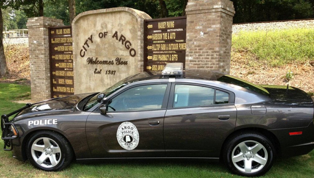
From Tribune staff reports
BIRMINGHAM — On Sunday morning, the National Weather Service in Birmingham placed counties in norther most Alabama under a winter storm warning and issued a winter storm advisory southward which includes Blount and Etowah counties just north of Jefferson County.
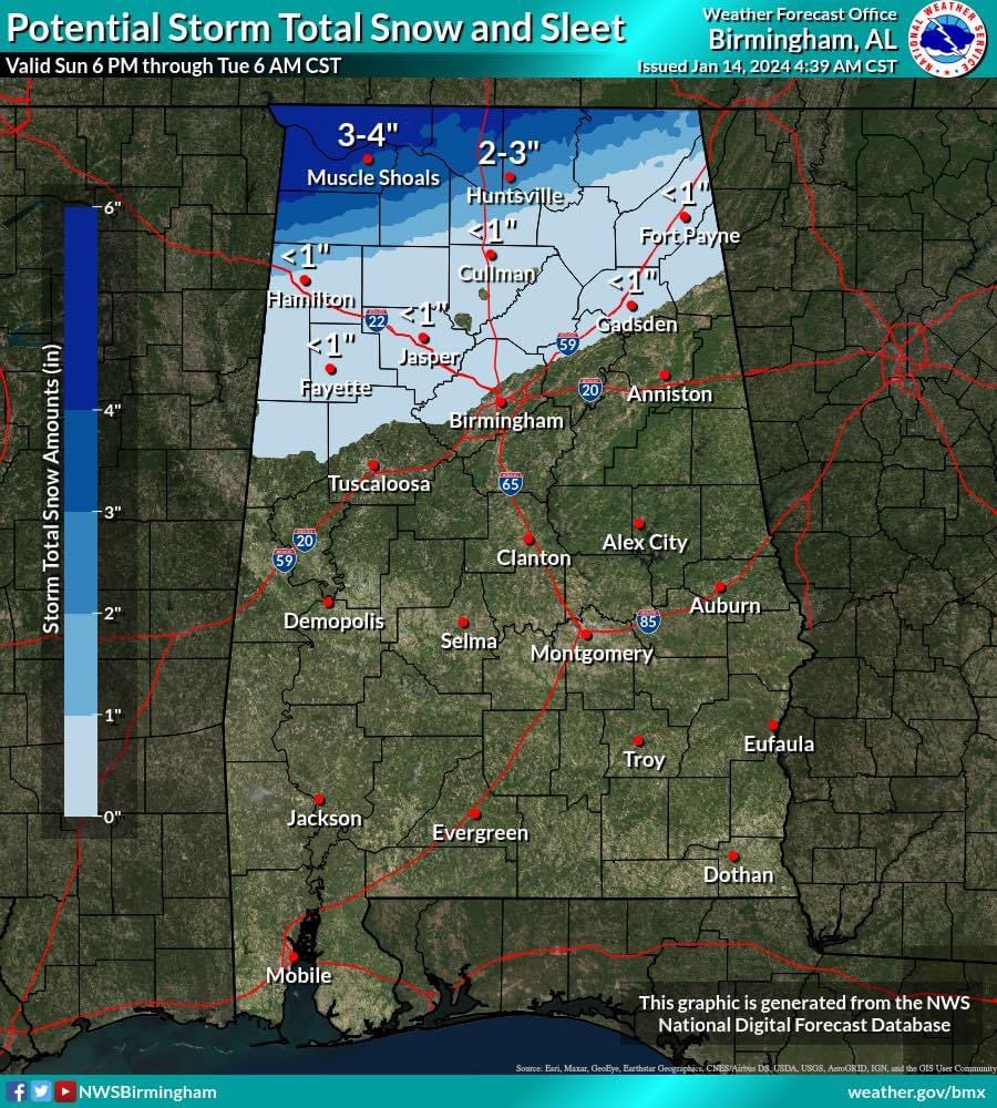
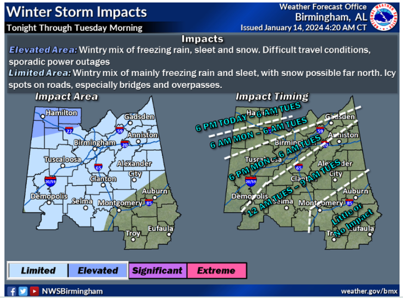 What should we expect in the Tribune area? The current forecast shows a risk of freezing rain and ice for the Tribune coverage area. Due to temperatures reaching the teens and single digits, any precipitation is expected to freeze and create travel problems. Temps will remain below freezing on Tuesday but should reach the 40s on Wednesday. Less than half an inch of snow is expected.
What about the timing? According to NWS, the Tribune area will see the most impact between 6 p.m. on Monday and 6 a.m. on Tuesday. Remember, conditions could impact travel until sometime during the day on Wednesday, so be prepared.
There is a 20% chance of precipitation on Monday afternoon which increases to 60% Monday night. A chance of rain or freezing rain before midnight Monday, then rain, freezing rain, and sleet likely between midnight and 3 a.m., then freezing rain and sleet likely after 3 a.m. Cloudy, with a low around 22. North wind 5 to 10 mph, with gusts as high as 20 mph. Little or no sleet accumulation expected.
 Counties along the Alabama-Tennessee line which are under the winter storm warning will see one to four inches of snow. Those counties could begin receiving winter precipitation as early as 6 p.m. on Sunday and will continue to be impacted through 6 a.m. on Tuesday.
Travel problems are anticipated for much of the northern half of Alabama, including the Tribune coverage area. We will continue to update the weather situation as it unfolds so check back for new information.


